Gowanus Canal, Brooklyn, New York
Mapped by Liz Barry, Leif Percifield, Charles Stewart
Cartographer: Stewart Long
Published by gonzoearth
40.6753750378693 N, -73.99113887776639 E
317 views
Ground resolution: 2.1 cm/px
Capture date: 2011-03-27T00:00:00
Publication date: 2011-05-24T00:00:00
License: Public Domain
Mapped by Liz Barry, Leif Percifield, Charles Stewart
Cartographer: Stewart Long
Published by gonzoearth
40.6753750378693 N, -73.99113887776639 E
268 views
Ground resolution: 2.1 cm/px
Capture date: 2011-03-27T00:00:00
Publication date: 2011-05-24T00:00:00
License: Public Domain

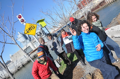
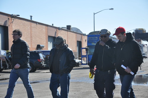
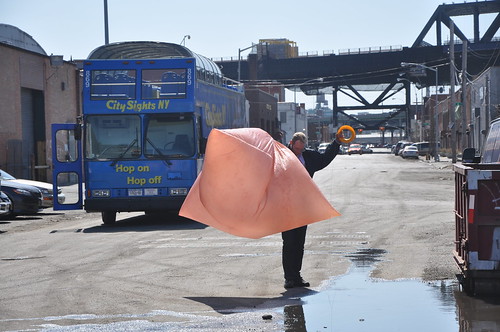
On Sunday March 27, we headed to the Gowanus Canal Superfund site, where we have an active aerial mapping project happening in partnership with the Gowanus Canal Conservancy. Charles A. Stewart from Lets Fly Kites came to meet Liz Barry and Leif Percifield who lead the project at Gowanus and as an expert kite flyer, brought a couple of his kites to demonstrate. The new kites that we tested had structure and flew well with the rig attached. Liz and Leif decided on a Delta-Box hybrid model to try out during future mappings of the canal.
Mathew Lippincott was on hand testing solar balloon pigment as well.
Notes
One of the difficulties that we’ve experienced with the site is that strong and unpredictable springtime winds have given mappers difficulties as balloons are popped on the barbed wire that lines the heavily industrialized canal.
Cartographer notes
The image sensor was mostly located in the middle of the scene during this kite flight for the map. So, imagery near the center of the map is from a more overhead perspective, while adjacent areas show parallax distortion. -Stewart


0 Comments
Login to comment.