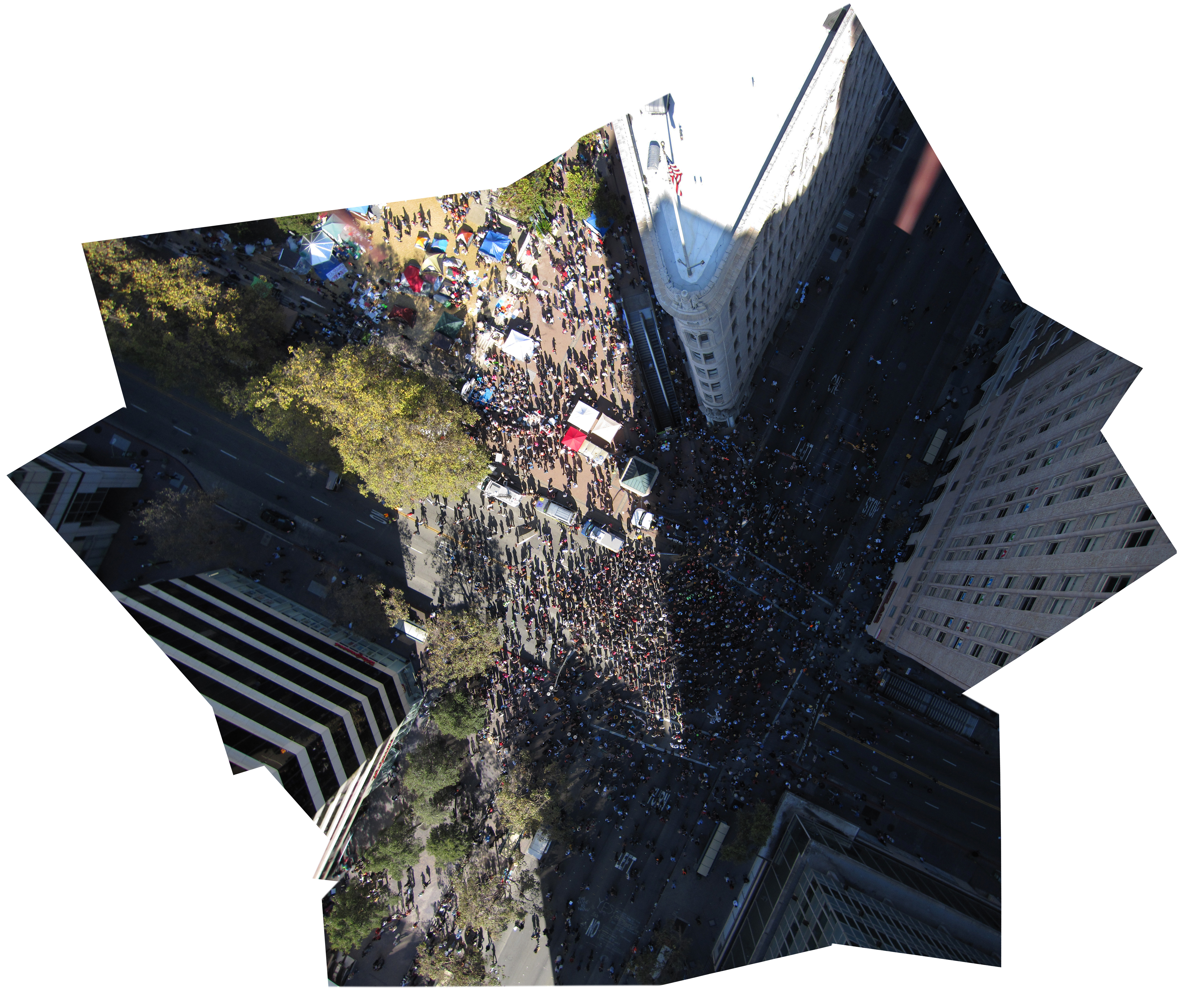
Occupy Oakland 12PM
Mapped by Ben Rodriguez, Michal Migurski, Stewart Long
Cartographer: Stewart Long
Published by gonzoearth
37.804515634961845 N, -122.27135791586011 E
273 views
Ground resolution: 2.33 cm/px
Capture date: 2011-11-02T00:00:00
Publication date: 2011-11-02T00:00:00
License: Public Domain
Mapped by Ben Rodriguez, Michal Migurski, Stewart Long
Cartographer: Stewart Long
Published by gonzoearth
37.804515634961845 N, -122.27135791586011 E
184 views
Ground resolution: 2.33 cm/px
Capture date: 2011-11-02T00:00:00
Publication date: 2011-11-02T00:00:00
License: Public Domain

0 Comments
Login to comment.