Toorcamp 2012. Makah Passage. Neah bay, Washington
Mapped by Mathew Lippincott, Mathew Lippincott, Alex Norman
Cartographer: Mathew Lippincott
Published by gonzoearth
48.33927226874097 N, -124.66495841038021 E
1134 views
Ground resolution: 5.4 cm/px
Capture date: 2012-08-09T00:00:00
Publication date: 2012-08-29T00:00:00
License: Public Domain
Mapped by Mathew Lippincott, Mathew Lippincott, Alex Norman
Cartographer: Mathew Lippincott
Published by gonzoearth
48.33927226874097 N, -124.66495841038021 E
1091 views
Ground resolution: 5.4 cm/px
Capture date: 2012-08-09T00:00:00
Publication date: 2012-08-29T00:00:00
License: Public Domain
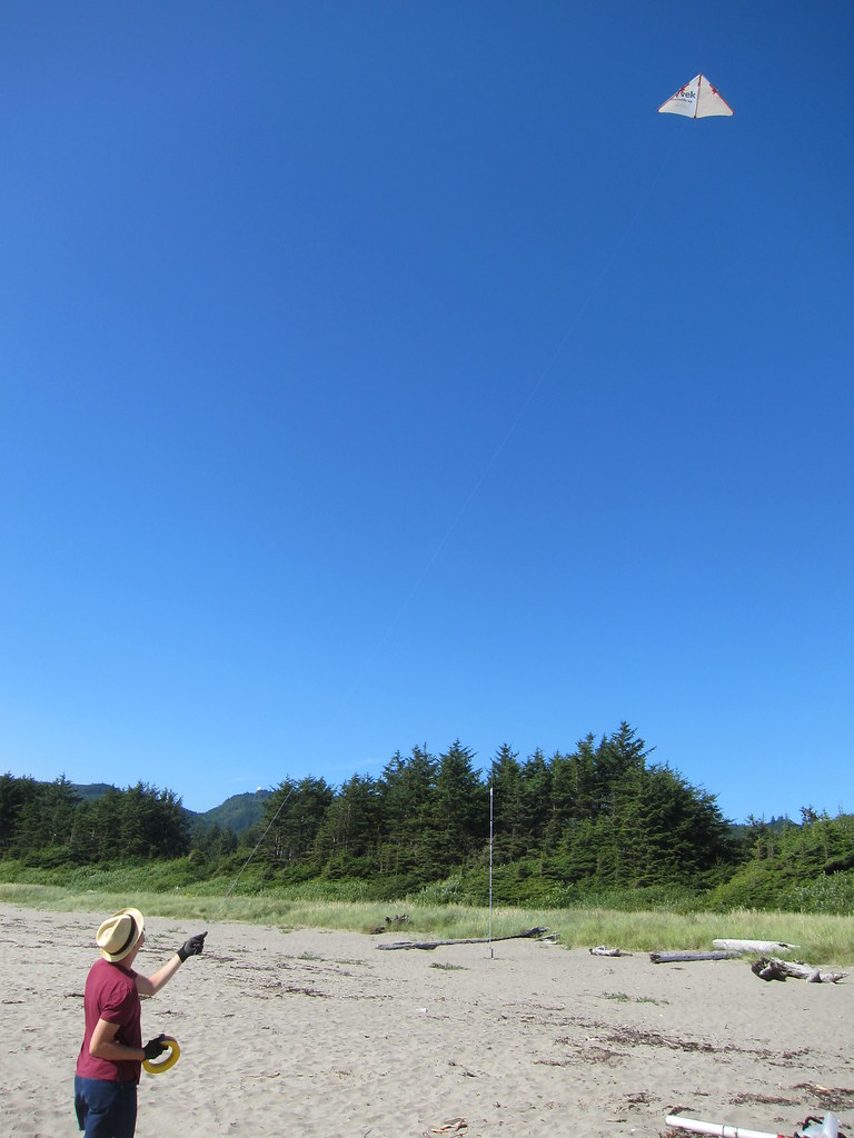
This map was taken with a Canon S90 camera dangling from a [tyvek and bamboo delta kite](http://publiclaboratory.org/notes/mathew/7-19-2012/easy-cut-delta-kite-plans). Alex Norman did most of the flying:
Notes
Wind was not steady, ranging from 6-8mph. The delta kite is a little dicy when the wind drops, as it has a tendency to over fly when the wind is dropping. We solved this issue by just letting line out when the wind is going down, which is counterintuitive but effective.
Notes
Wind was not steady, ranging from 6-8mph. The delta kite is a little dicy when the wind drops, as it has a tendency to over fly when the wind is dropping. We solved this issue by just letting line out when the wind is going down, which is counterintuitive but effective.
Cartographer notes
0 Comments
Login to comment.