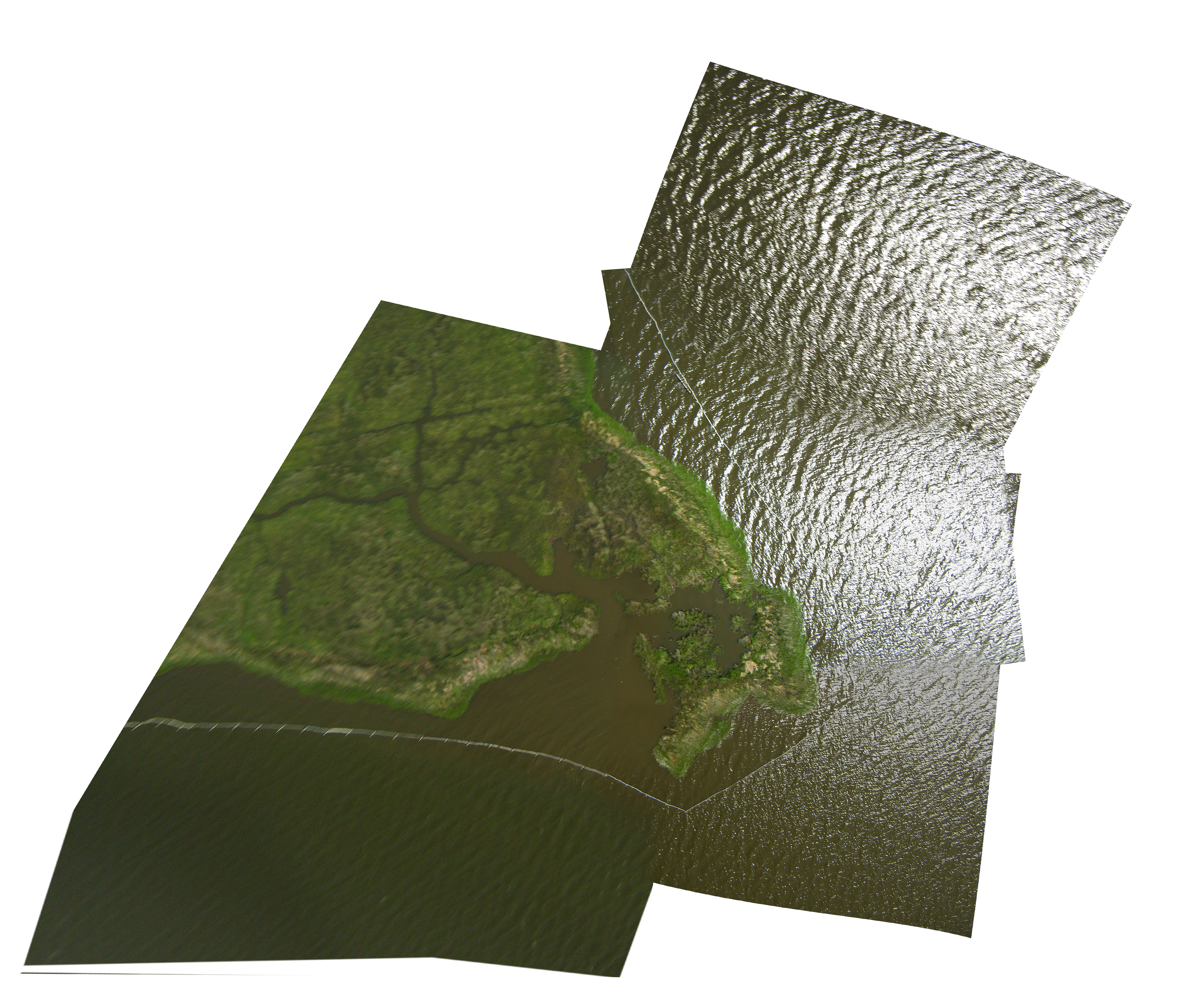
Incompatible browser

The Public Laboratory website will not render correctly in Internet Explorer 6 or earlier. To view it properly, please use an up-to-date browser, such as Firefox, Chrome, or another standards-compliant browser. It's a good idea to upgrade anyways -- olderversions of IE pose a security risk for your computer.

Fullscreen
Close

Wilkinson Bay (West), Louisiana

Order a print of this map.

Embed code:

Tags: 
License: 
Public Domain
Bounding box: 
POINT(-89.9325561998 29.4770726382)
POINT(-89.9296569795 29.4795374055)
Capture date: 
July 22, 2010
Publication date: 
May 24, 2011
Mappers: 
Adam Griffith
Lauren Craig
Kiewit Construction Crew
Cartographer: 
Stewart Long
Geotiff filesize: 
158.0
TMS tile type: 
png
JPG filesize: 
6.4