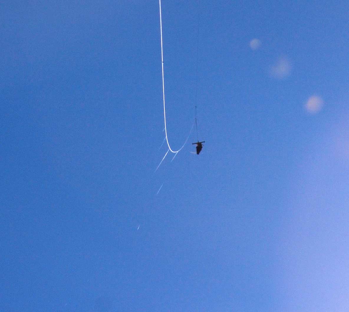
Above: The Saturn V Rig with strands of spider silk caught on the kite line. Spiders disperse by climbing to a high point and producing a silk thread which lifts them on the wind. This is called ballooning or less frequently, kiting. There must have been thousands of ballooning spiders in the air over that field when the panorama below was captured.
.
I have been keeping all of my kite panoramas at Photosynth.net because it's a friendly site with a great spherical viewer and it's easy to upload them directly after stitching in Microsoft ICE. But the Photosynth panorama viewer is based on Silverlight which Google Chrome no longer supports. So the viewing experience for anyone using Chrome is compromised.
So I tried 360Cities.net for the first time. The site is very commercial, and even the embeds have ads. There are also lots of restrictions, for example I can't link to publiclab.org in the panorama description. Each panorama is approved (by a human?) before it is published. In order for a panorama to be viewable in a spherical viewer, it has to be a truly spherical 360° by 180° panorama. That is, it must be a 360° panorama which includes the zenith and nadir. Panoramas without the zenith and nadir are displayed in a cylindrical viewer which does not allow looking straight up or straight down. Kite panoramas don't generally include the zenith, so I had to be creative.
I think the only way to get a panorama at Photosynth.net is to stitch it in ICE. But any panorama image can be uploaded to 360Cities. So I stitched the "A Flight of Ice and Fireweed" panorama in ICE and exported it as a big jpeg image. I loaded that into Photoshop and added lots of sky at the top to make the vertical dimension half of the horizontal dimension. While I was in Photoshop, I also fixed some stitching errors that ICE had made. This is a great advantage over the ICE-to-Photosynth workflow which has no way to repair errors -- the panorama that ends up at Photosynth is whatever ICE produced. Then the final exported panorama (a 19456 x 9728 jpeg image) was uploaded to my new free account at 360Cities. .
When the panorama uploaded to 360Cities does not have a 2:1 ratio of width to height (in pixels) it is not displayed in a spherical viewer. If you can't look down at the nadir, what fun is that?
.
I will have to try out the embeds in different browsers to see how they work. It appears that the "flying around" is not as fluid as at Photosynth. Let me know if you have any problems viewing the embeds.
I might have to start planning ahead for the requirement of including the zenith. Normal panorama photographers take a photo of the ground where the tripod stood while the panorama was made, then include that photo in the stitching. I will have to remember to take a photo of the zenith from every place the Saturn V Rig was when it might have been capturing the photos for a good panorama. Or plan on spending lots of time in Photoshop.
0 Comments
Login to comment.