Public Lab Barnraisings
What is a Barnraising?
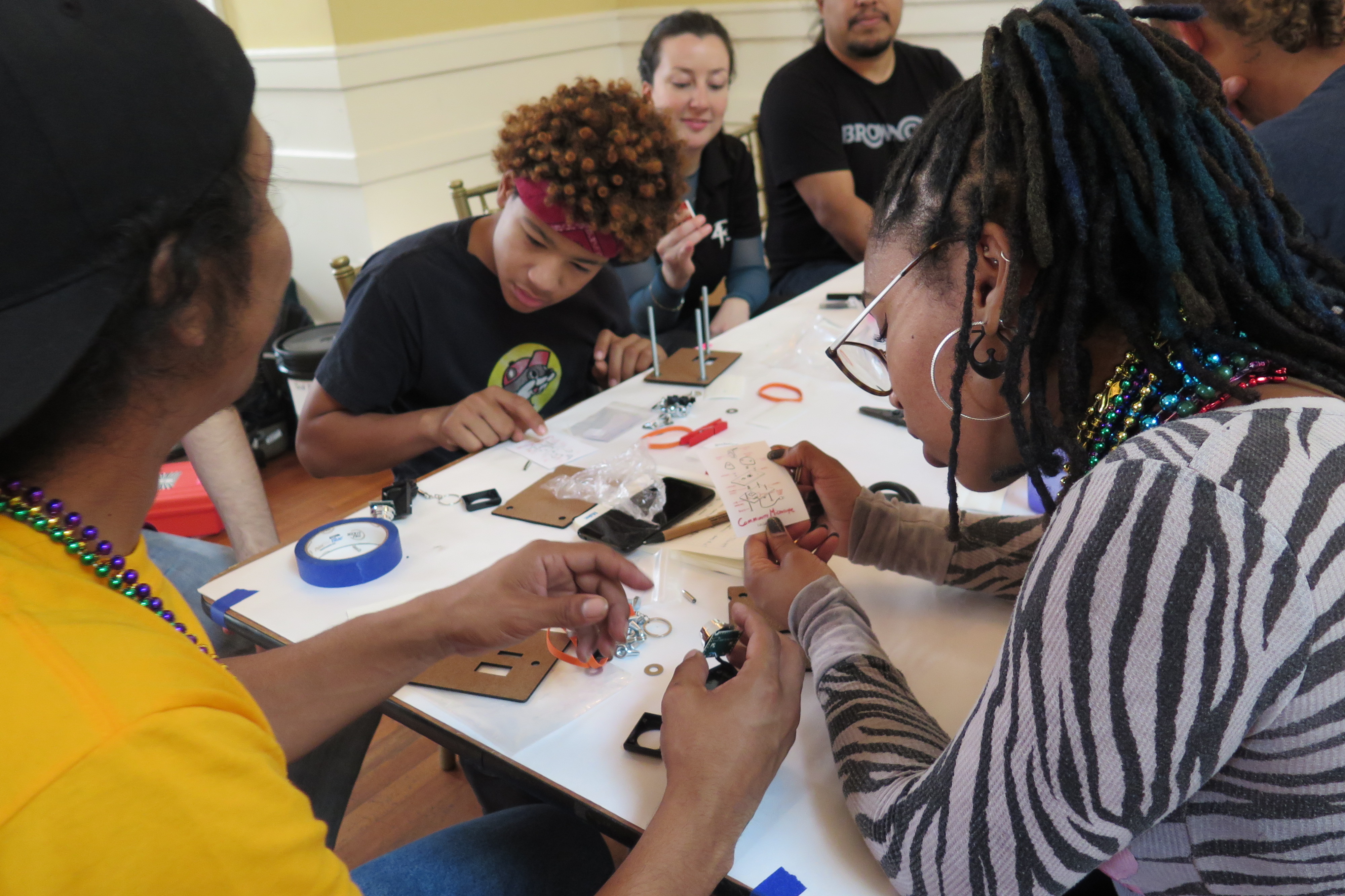
A Barnraising is an event hosted by the Public Lab community. In the spirit of bringing a community together to collectively raise a structure such as a barn, Barnraising participants come together to test environmental monitoring tools in the field, brainstorm new research projects, share about environmental concerns, and develop strategies to address them. At the event, with the support of facilitators, people collectively set the agenda, and participate and collaborate rather than just present, talk at, and listen.
People attending a Barnraising can expect to: improve social ties through in-person collaboration, participate in deep exploration of local environmental issues and ongoing community research, advance technical knowledge, and work with hands-on projects for local environmental monitoring and documenting new monitoring methods.
Host a Barnraising
See our Host a Barnraising page to find more resources on hosting your own Barnraising event.
Past Barnraisings:
- 2019 Barnraising: Galveston & Houston, USA
- 2018 Barnraising: Guangzhou, China
- 2018 Crisis Convening & Barnraising, Newark, New Jersey
- 2017 Barnraising: Cocodrie, Louisiana
- 2017 Appalachia Barnraising
- 2016 Barnraising: Cocodrie, Louisiana
- 2016 Regional Barnraising, Val Verde, CA
- 2015 Barnraising: Cocodrie, Louisiana
- 2015 Midwest Regional Barnraising: Chicago, Illinois
- 2014 Barnrasing: Cocodrie, Louisiana
- 2014 Northeast Regional Barnraising: Plymouth, Massachusetts
- 2013 Barnraising: New Orleans, Louisiana
- 2012 Barnraising: Cocodrie, Louisiana
- 2011 Barnraising: Asheville, North Carolina
