Gulf Coast
Deepwater Horizon Oil Spill Mapping 2010-2011
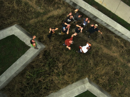
Since May 2010, we have been using balloon mapping to capture aerial imagery of spill-affected sites in Louisiana, Mississippi, Alabama and Florida. Our work on the Gulf Coast in 2010, was done in cooperation with groups such as the Louisiana Bucket Brigade and the University of South Alabama on a community-led monitoring of the Deepwater Horizon oil spill. The data has been gathered can be viewed in:
the Public Laboratory Archive »
More images and information can be found at:
- https://www.flickr.com/photos/tags/gulfoilmap/
- http://unterbahn.com/thesis - Chapter 8: Case Study: Citizen mapping of the BP oil spill (5.7 mB, 14 pages)
- and in the various press and publications listed at http://publiclaboratory.org/media
While mapping the oil spill, we were not trying to duplicate the satellite or flyover imagery (though we helped to coordinate some of the flyovers and tried to ensure that the data was publicly accessible). Instead, we were helping Gulf Coast residents to use balloons, kites, and other simple and inexpensive tools to produce their own documentation of the spill… and hoping that such data collection will continue to support environmental research, policy, and regulatory changes in coming years.

Current focuses (Dec 2011)
- Producing our second paper map (with the support of DevelopmentSeed) of Wilkinson Bay.
- Providing digital archives of collected images to libraries across the Gulf Coast
- Mapping restoration and remediation efforts in the Louisiana wetlands
- Continued mapping of the Barataria Bay region in partnership with the Louisiana Universities Marine Consortium
- Connecting with researchers regarding data use and potential collaborations
- Testing out new PLOTS tools- infrared and UV cameras
- Testing out a time lapse camera that will be mounted in a wetland area near Cocodrie, LA
- Testing the Hydrogen Sulfide sensor that is currently in development
Grassroots Mapping: Kickstarter Pitch from TungstenMonkey on Vimeo.
If you're interested in proposing a project, a new focus in the Gulf Coast region or want to conduct your own mapping session, please contact us at the mailing list, and we'll help you get started. (equipment, training, finding volunteers, etc.)
Current Mapping Plans and Ideas
Bayou Bienvenue [background] [restoration] [greenslice]
NO East (schools, Nature Center) late December 2012
Big Branch map annotation --Dec 2012
Cypress Restoration on MRGO spoilbank (St Bernard Foundation) January 2013
Site Contact
- Shannon Dosemagen - Public Laboratory (shannon@publiclaboratory.org)
Join
- Join the Public Laboratory community - please sign up for the Grassroots Mapping list in particular; this is how we can reach you with meeting announcements, etc.
How can you help?
- Sort imagery we've collected so that it can be stitched into maps
- Sponsor the printing of one of our maps to be distributed on the Gulf Coast
- Volunteer to help with data analysis and outcomes
- Volunteer in the area to fly balloons/kites, make maps Volunteer Here
- Volunteer your expertise around further development of H2S sensing and the infrared camera
How-to Mapping Guides
Look at our 4-page PDF guide to get started.
Equipment:
- Canon cameras or Android phones (see Balloon Mapping Materials)
- Weather balloons (5 feet diameter or more)
- string, lots of string
Mapping Resources
- NOAA's latest prediction maps -- PDFs available for 24, 48, and 72 hour horizons
- Latest MODIS imagery - often cloud-obscured
- etc. mapping resources-- pulled from posts to grassrootsmapping google group