Methods
developed by Public Lab contributors
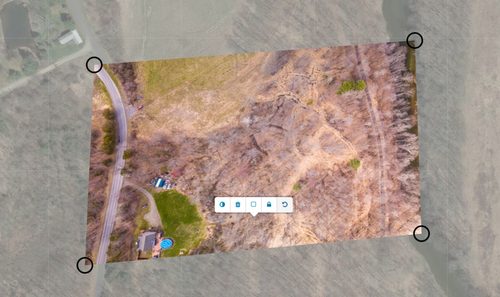
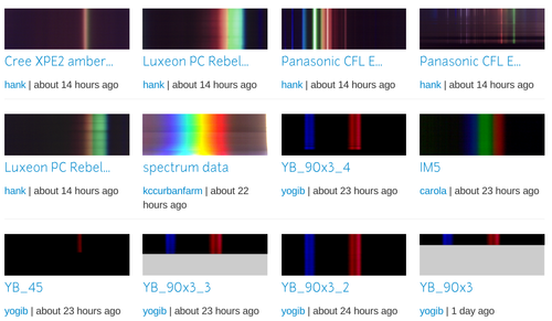
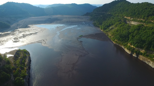
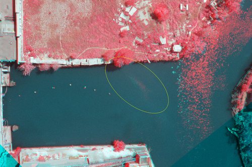
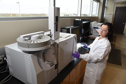
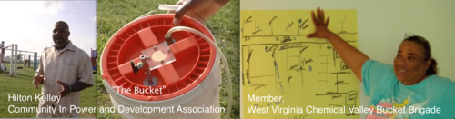
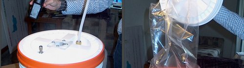
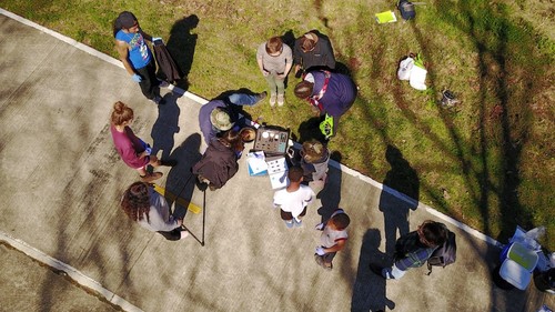
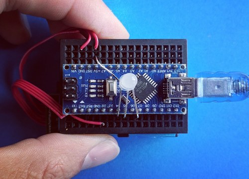
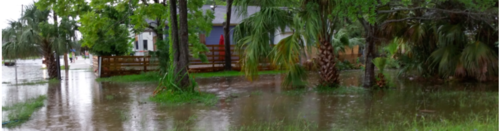
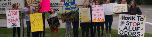
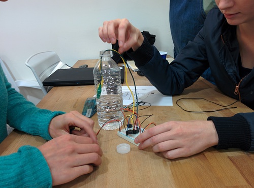
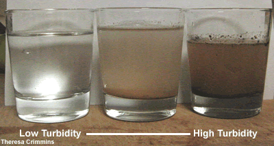
Public Lab's community collaboratively develops many different DIY environmental monitoring and advocacy methods.
Browse them here and learn how to get involved.
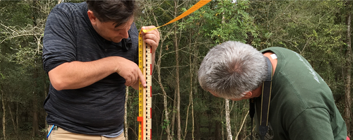
Public Lab's community collaboratively develops many different DIY environmental monitoring and advocacy methods.
Browse them here and learn how to get involved.


Public Comment
0 activities 1 questions
Wiki page by 5 people